Ironstone Road, WS7 - House Price Charts & Sales Map

See the full profile of Ironstone Road in Burntwood, including clear comparisons to neighbouring areas and the expansive Burntwood setting.

Additionally, explore these features to guide your next step:

How much is your home worth?

Get a personalised estimate based on recent local sales and property type.

🔍 Get Your Free Valuation
Associated Postcodes:

WS7 1LF, WS7 1LG, WS7 1LL, ... + 6 more

What should properties be valued at on Ironstone Road?

Estimated Property Value
£1,010,305
7.5/10
5.2%
2,763 sq/ft
Select a property type to see average size for this road
×
Choose your comparison:
🏘️
Nearby Streets
See how Leaf Lane stacks up against the next few roads
£735,000
📍
This District
£690,000
🏙️
All of Coventry
View the city-wide average
£485,000
📊
Select a comparison above to see how Leaf Lane performs

Why Use M0VE?

Property Discovery
Find hottest properties - flame icon with trending house
Find Hottest Properties

Spot undervalued deals in any given area

Dream property finder - house with heart and search magnifying glass
Dream Property Finder

Find the perfect home that matches your budget and lifestyle

Relocation adviser - moving truck with location pin marker
Relocation Adviser

Relocate smarter with side-by-side area comparisons

Smart Decision Tools +
Property negotiator - handshake with dollar sign for deal making
Property Negotiator

Take the guesswork out of making an offer

Property valuation - house with price tag and calculator
Property Valuation

Access the UK's most accurate valuation tool

Street level data - map with data points and location markers
Street Level Data

Get in-depth stats for any street in the UK

Next-Gen Tech Features +
Data visualisation - interactive charts and graphs with analytics
Data Visualisation

Visualise UK market data with interactive charts

Smart alerts system - notification bell with property alert badges
Smart Alerts System

Get smarter alerts that go way beyond new listings

AI chat assistant - chatbot with speech bubble and artificial intelligence brain
AI Chat Assistant

Chat with AI trained on real property data

Unlock the UK property market with M0VE.com! Get accurate valuations, top deals, local insights, and trends to make informed property decisions.
Follow Us

House Prices   >   Burntwood  >   WS7  >  Ironstone Road

Street’s Property Overview

Essential Market Data for Ironstone Road

  • Since 2021, Ironstone Road has seen 37 homes bought and sold, each fetching around £211,900. The typical property is 912 square feet, giving £198 per square foot.
  • Sales prices on the prized Ironstone Road have varied between £94,000 and £495,000, with square footage costs ranging from £98 to £384.
  • The last real estate handshake on Ironstone Road took place in February 2025.
Street Prices vs Nearby Markets

Comparing Ironstone Road House Prices with Surrounding Areas

By Sector

WS7 1

Compared to the WS7 1 sector, Ironstone Road's average property prices are 5% lower. (£221,600 vs £211,900). A comparable home elsewhere in the sector may cost £9,700 more than a similar property on Ironstone Road, based on current market trends.

By District

i.e. WS7

If you're comparing, expect a premium of about 11% when buying in the WS7 district over Ironstone Road. (£235,900 vs £211,900). This analysis indicates that a property on Ironstone Road could be valued around £24,000 lower than others in the same district.

By City or Town

i.e. Burntwood

On average, properties in Burntwood are 16% more expensive than in Ironstone Road. (£245,000 vs £211,900). This suggests that a similar home in Burntwood would set you back an extra £33,400 compared to Ironstone Road.

Road Features You Might Miss

Little-Known Insights About Ironstone Road

  • 260 properties are located on this street, with 10 postcodes in use.
  • No properties on Ironstone Road are classified as new-builds.
  • Homes on Ironstone Road have a current average EPC score of 60 (D), with a potential boost to 79 (C).
  • On average, homes on Ironstone Road offer 912 square feet, surpassing Burntwood properties by 2% in total size.
  • On average, homes on this street don’t stay long – they’re back on the market every 2 months, well ahead of the 9.96 month cycle typical of WS7.
Property Pulse of the City

No-Fluff Articles About Burntwood Property Trends

Eager to buy or invest in Burntwood? Explore our insights on the best streets, market movements, and strategies to clinch a great deal.
As a final stop, the House Prices in Burntwood section on our site covers the data in full, right down to individual property types and yearly trends.
Local Highlights on Display

WS7 at a Glance

What does life in WS7 really smell and sound like? Think freshly cut grass mingling with the rich aroma of produce from the local markets. Imagine birds calling as they soar through the uncrowded skies, or children’s laughter floating from the neighbourhood park. It is the small sensations that make this district uniquely captivating.

371
No. of Roads
3,205
No. of Transactions
£300K
Avg. Property Price
968
per sq/ft
Avg. Property Size
£246
per sq/ft
Avg. Cost Per Sq/Ft
Nearby Roads of Note

Other Roads You May Be Interested In

WS7 Roads with Similar Prices

  • Carlton Crescent
  • Thornfield Crescent
  • Crane Drive
  • Franklin Drive
  • Sandown Close
  • Chase Road

Roads Near Ironstone Road

Ironstone Road, WS7, Burntwood

Verified Data Sources

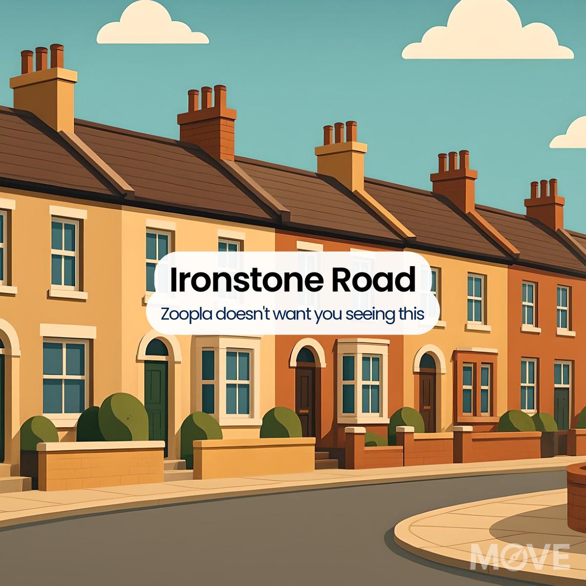
Through measured enhancements and selective filtering, we shape UK property records into a more reliable pricing picture - one street, one postcode at a time. Understand the method behind our clarity

  1. Lichfield District Council
  2. ONS (Burntwood)
  3. UK Government EPC Register (Ironstone Road Burntwood)
Please Login
Please Signup
Please Signup
    Strength: Very Weak