Defford Road, WR10 Property Prices - Latest Sales & Trends

Our site offers a comprehensive overview of Defford Road in Pershore, including comparisons to the local area and Pershore overall.

While you're here, boost your chances with these quick features.

How much is your home worth?

Get a personalised estimate based on recent local sales and property type.

🔍 Get Your Free Valuation
Associated Postcodes:

WR10 1HU, WR10 1HZ, WR10 1JE, ... + 4 more

How much should properties fetch on Defford Road?

Estimated Property Value
£1,010,305
7.5/10
5.2%
2,763 sq/ft
Select a property type to see average size for this road
×
Choose your comparison:
🏘️
Nearby Streets
See how Leaf Lane stacks up against the next few roads
£735,000
📍
This District
£690,000
🏙️
All of Coventry
View the city-wide average
£485,000
📊
Select a comparison above to see how Leaf Lane performs

Why Use M0VE?

Property Discovery
Find hottest properties - flame icon with trending house
Find Hottest Properties

Spot undervalued deals in any given area

Dream property finder - house with heart and search magnifying glass
Dream Property Finder

Find the perfect home that matches your budget and lifestyle

Relocation adviser - moving truck with location pin marker
Relocation Adviser

Relocate smarter with side-by-side area comparisons

Smart Decision Tools +
Property negotiator - handshake with dollar sign for deal making
Property Negotiator

Take the guesswork out of making an offer

Property valuation - house with price tag and calculator
Property Valuation

Access the UK's most accurate valuation tool

Street level data - map with data points and location markers
Street Level Data

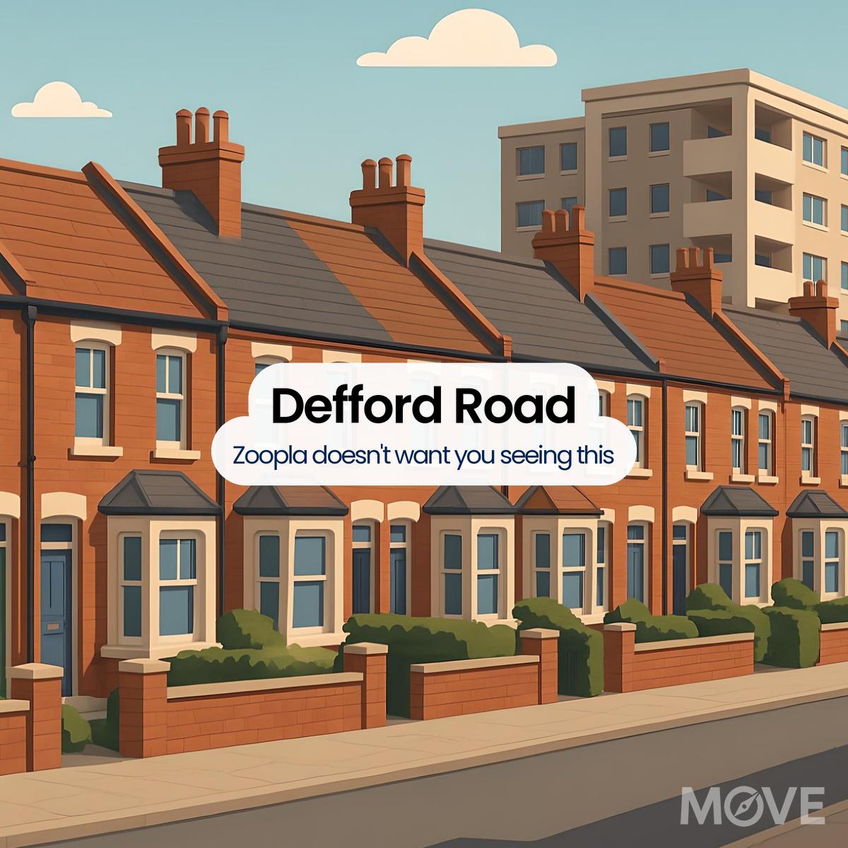
Get in-depth stats for any street in the UK

Next-Gen Tech Features +
Data visualisation - interactive charts and graphs with analytics
Data Visualisation

Visualise UK market data with interactive charts

Smart alerts system - notification bell with property alert badges
Smart Alerts System

Get smarter alerts that go way beyond new listings

AI chat assistant - chatbot with speech bubble and artificial intelligence brain
AI Chat Assistant

Chat with AI trained on real property data

Unlock the UK property market with M0VE.com! Get accurate valuations, top deals, local insights, and trends to make informed property decisions.
Follow Us

House Prices   >   Pershore  >   WR10  >  Defford Road

Sales Buzz on the Street

Market Trends and Property Values in Defford Road

  • On Defford Road, 7 homes have changed hands since 2021, averaging £447,300 per sale. These properties are typically 1,160 square feet, giving a cost of £277 per square foot.
  • House prices on Defford Road have fallen between £305,000 and £740,000, with square footage costs shifting between £180 and £404.
  • The latest leap across the welcome mat on Defford Road was in July 2024.
How This Road Compares Locally

Comparing Defford Road House Prices with Surrounding Areas

By Sector

WR10 1

In comparison to the WR10 1 sector, Defford Road has average property prices that are 44% higher. (£447,300 vs £252,300). If you're budget-conscious, Defford Road could add an eyebrow-raising £195,000 to your bill.

By District

i.e. WR10

In comparison to the WR10 district, Defford Road has average property prices that are 32% higher. (£447,300 vs £306,000). Statistically, a comparable property on Defford Road would likely cost about £141,300 more than in the WR10 district.

By City or Town

i.e. Pershore

Pershore wins the value vote - you’ll avoid the 30% property tax that is Defford Road. (£447,300 vs £312,000). Think of it this way - Defford Road means shelling out £135,300 more for the same front door.

Essential Extras for This Street

What Else Can We Learn About Defford Road?

  • This road unites 111 properties, linked across 10 postcodes.
  • According to all available data, no new-build properties are present on Defford Road.
  • The average EPC score of properties on Defford Road is currently 72 (C), with an achievable improvement to 82 (B).
  • The average Defford Road property boasts 1,160 square feet, exceeding Pershore by 5% in size.
  • If WR10 homes are the tortoise, this street is the hare – with sales every 12 months versus 11.08 months elsewhere.
Local Housing Highlights

Where Pershore Homes Sell, Stall, or Soar

Not every Pershore postcode tells the same story. These easy reads explain which streets rise fast, which struggle, and where your budget gets treated best.
Also, if you’re after a clearer view of Pershore’s pricing landscape, the Pershore House Prices page spells it out by year, area, and property type.
District Destinations to Love

Exploring WR10: A Local Snapshot

Interested in discovering what’s really going on in and around WR10? We’ve laid out some key details to get you started.
323
No. of Roads
2,507
No. of Transactions
£400K
Avg. Property Price
1,164
per sq/ft
Avg. Property Size
£287
per sq/ft
Avg. Cost Per Sq/Ft
Roads Close By to Know

Other Roads to Peek At

WR10 Roads with Similar Prices

Roads Near Defford Road

  • Abbey Road
  • Abbeycroft
  • Abbots Grange
  • Abbots Road
  • Acorn Grove
  • Allesborough Drive

Defford Road, WR10, Pershore

Authenticity at Every Step

Housing data is our starting point, but not the destination. We adjust each figure with intelligence and precision to reveal something more practical. Read about our behind-the-scenes process

  1. Wychavon District Council
  2. ONS (Pershore)
  3. HM Land Registry (Pershore)
  4. UK Government EPC Register (Defford Road Pershore)
  5. MySociety.org WR10 3BY
Scroll

Our site uses cookies. By using this site, you agree to the Privacy Policy and Terms of Use.

Please Login
Please Signup
Please Signup
    Strength: Very Weak