Parsons Drive, ST20 Property Price Report

Delve into the specifics of Parsons Drive in Stafford, and see how it stacks up against the surrounding area and the Stafford as a whole.

Additionally, unlock more insights with these features:

How much is your home worth?

Get a personalised estimate based on recent local sales and property type.

🔍 Get Your Free Valuation
Associated Postcodes:

ST20 0QS

How much should properties fetch on Parsons Drive?

Estimated Property Value
£1,010,305
7.5/10
5.2%
2,763 sq/ft
Select a property type to see average size for this road
×
Choose your comparison:
🏘️
Nearby Streets
See how Leaf Lane stacks up against the next few roads
£735,000
📍
This District
£690,000
🏙️
All of Coventry
View the city-wide average
£485,000
📊
Select a comparison above to see how Leaf Lane performs

Why Use M0VE?

Property Discovery
Find hottest properties - flame icon with trending house
Find Hottest Properties

Spot undervalued deals in any given area

Dream property finder - house with heart and search magnifying glass
Dream Property Finder

Find the perfect home that matches your budget and lifestyle

Relocation adviser - moving truck with location pin marker
Relocation Adviser

Relocate smarter with side-by-side area comparisons

Smart Decision Tools +
Property negotiator - handshake with dollar sign for deal making
Property Negotiator

Take the guesswork out of making an offer

Property valuation - house with price tag and calculator
Property Valuation

Access the UK's most accurate valuation tool

Street level data - map with data points and location markers
Street Level Data

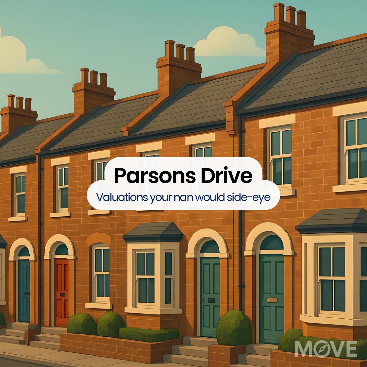
Get in-depth stats for any street in the UK

Next-Gen Tech Features +
Data visualisation - interactive charts and graphs with analytics
Data Visualisation

Visualise UK market data with interactive charts

Smart alerts system - notification bell with property alert badges
Smart Alerts System

Get smarter alerts that go way beyond new listings

AI chat assistant - chatbot with speech bubble and artificial intelligence brain
AI Chat Assistant

Chat with AI trained on real property data

Unlock the UK property market with M0VE.com! Get accurate valuations, top deals, local insights, and trends to make informed property decisions.
Follow Us

House Prices   >   Stafford  >   ST20  >  Parsons Drive

Housing Activity on This Street

Exploring Property Prices on Parsons Drive

  • Since 2021, Parsons Drive has recorded 7 homes sold for an average of £276,400. The average size is 1,195 square feet, equating to £236 per square foot.
  • On the celebrated Parsons Drive, property values have covered a range between £205,000 and £355,000, with costs per square foot flowing from £150 to £344.
  • On Parsons Drive, the last key exchange ceremony took place in February 2025.
How This Street Stacks Up

Parsons Drive Property Prices vs Surrounding Areas

By Locality

Gnosall

The gap between Gnosall and Parsons Drive sees Gnosall homes priced 10% lower on average. (£248,100 vs £276,400) Consequently, a similar home elsewhere in Gnosall might carry a price tag £28,300 below that of Parsons Drive.

By Sector

ST20 0

On average, homes in ST20 0 leave you with 3% more breathing room than Parsons Drive. (£268,400 vs £276,400) No sugar-coating it: a comparable home on Parsons Drive could sting you for about £8,000 more.

By District

i.e. ST20

Property prices in the ST20 district trail Parsons Drive by about 3%. (£268,400 vs £276,400). Given the difference, buying in the ST20 district could leave you better off by about £8,000.

By City or Town

i.e. Stafford

Based on current averages, properties in Stafford are priced 15% below those found on Parsons Drive. (£234,000 vs £276,400). This suggests that a similar home elsewhere in Stafford might be priced around £42,300 lower than on Parsons Drive.

Street Snapshots Worth Noting

More In-Depth Data About Parsons Drive

  • With 32 homes aligned along its path, this road operates under a solitary postcode.
  • No newly constructed homes can be found on Parsons Drive.
  • Properties on Parsons Drive have a current average EPC rating of 68 (D) and could potentially achieve a rating of 81 (B).
  • Homes on Parsons Drive provide larger-than-average floor areas, averaging 1,195 square feet – well above the norm seen across Stafford.
  • This street outpaces the rest of ST20 in turnover speed, averaging a sale every 12 months compared to the area norm of 14.29 months.
Insider Looks at Local Homes

A Smarter Way to Read the Stafford Market

There isn’t a flood of data on Stafford’s housing market, which is why these guides matter. Just the right info, written with the city in mind.
Lastly, the Stafford House Prices page serves as a central point for buyers and investors to review the city’s evolving price landscape.
Standout Sites Nearby

About the ST20 Area

ST20’s timeworn allure lies not just within its panoramic vistas, but within a shared heritage binding us together. A living painting of bygone eras, this region shares a serene vision of historic Staffordshire, inviting all to witness its compelling narratives and partake in a shared resolution for progress.

118
No. of Roads
710
No. of Transactions
£300K
Avg. Property Price
1,223
per sq/ft
Avg. Property Size
£240
per sq/ft
Avg. Cost Per Sq/Ft
Roads Close By to Know

Streets You Shouldn’t Miss

ST20 Roads with Similar Prices

Roads Near Parsons Drive

Parsons Drive, ST20, Stafford

Smarter Insights Start Here

Street-level pricing is more meaningful when the numbers are filtered for fairness. That’s why our system gently reshapes every data point before displaying results. Watch how the model works

  1. Stafford Borough Council
  2. HM Land Registry (Stafford)
  3. UK Government EPC Register (Parsons Drive Stafford)
  4. MySociety.org ST20 0QS
Scroll

Our site uses cookies. By using this site, you agree to the Privacy Policy and Terms of Use.

Please Login
Please Signup
Please Signup
    Strength: Very Weak