Westfield Drive, WS9 Property Market Overview

This page breaks down the details of Westfield Drive in Walsall, with comparisons to the surrounding neighborhood and the Walsall as a whole.

While you're here, pick up more useful insights through these features.

How much is your home worth?

Get a personalised estimate based on recent local sales and property type.

🔍 Get Your Free Valuation
Associated Postcodes:

WS9 8ZA, WS9 8ZD

How much should homes go for on Westfield Drive?

Estimated Property Value
£1,010,305
7.5/10
5.2%
2,763 sq/ft
Select a property type to see average size for this road
×
Choose your comparison:
🏘️
Nearby Streets
See how Leaf Lane stacks up against the next few roads
£735,000
📍
This District
£690,000
🏙️
All of Coventry
View the city-wide average
£485,000
📊
Select a comparison above to see how Leaf Lane performs

Why Use M0VE?

Property Discovery
Find hottest properties - flame icon with trending house
Find Hottest Properties

Spot undervalued deals in any given area

Dream property finder - house with heart and search magnifying glass
Dream Property Finder

Find the perfect home that matches your budget and lifestyle

Relocation adviser - moving truck with location pin marker
Relocation Adviser

Relocate smarter with side-by-side area comparisons

Smart Decision Tools +
Property negotiator - handshake with dollar sign for deal making
Property Negotiator

Take the guesswork out of making an offer

Property valuation - house with price tag and calculator
Property Valuation

Access the UK's most accurate valuation tool

Street level data - map with data points and location markers
Street Level Data

Get in-depth stats for any street in the UK

Next-Gen Tech Features +
Data visualisation - interactive charts and graphs with analytics
Data Visualisation

Visualise UK market data with interactive charts

Smart alerts system - notification bell with property alert badges
Smart Alerts System

Get smarter alerts that go way beyond new listings

AI chat assistant - chatbot with speech bubble and artificial intelligence brain
AI Chat Assistant

Chat with AI trained on real property data

Unlock the UK property market with M0VE.com! Get accurate valuations, top deals, local insights, and trends to make informed property decisions.
Follow Us

House Prices   >   Walsall  >   WS9  >  Westfield Drive

Street’s Market Snapshot

Exploring Property Prices on Westfield Drive

  • Westfield Drive has had 22 home transactions since 2021, averaging £215,300 per sale. These properties span 950 square feet on average, translating to £233 per square foot.
  • Sales on Westfield Drive have realised prices from £142,000 to £326,500, with per-square-foot rates moving across £159 to £350.
  • The last completed house sale on Westfield Drive happened in May 2024.
How This Road Compares Locally

Westfield Drive Real Estate vs Surrounding Areas

By Locality

Aldridge

Homes in Aldridge are valued at 12% greater than those along Westfield Drive. (£242,100 vs £215,300) From these figures, it’s clear that opting for Westfield Drive could save you around £26,800.

By Sector

WS9 8

If you are looking to save, Westfield Drive properties cost about 13% less than the sector norm. (£243,500 vs £215,300). This information reveals that opting for Westfield Drive could reduce your budget by approximately £28,200 compared to other sector areas.

By District

i.e. WS9

Property costs in the WS9 district are typically 31% higher than on Westfield Drive. (£281,500 vs £215,300). When cost matters, a comparable home on Westfield Drive could set you back £66,200 less than elsewhere.

By City or Town

i.e. Walsall

The housing market in Walsall shows prices 25% above Westfield Drive averages. (£270,000 vs £215,300). Thus, opting for Westfield Drive could mean an overall cost reduction of £54,700.

Quick Notes on the Road

Insightful Useful Facts About Westfield Drive

  • This road comprises 96 properties, with just 1 postcode associated with it.
  • Westfield Drive has never recorded a transaction for a newly built home.
  • Currently, the average EPC rating for properties on Westfield Drive is 77 (C), with the potential to reach 81 (B).
  • Houses on Westfield Drive come in at 950 square feet on average, 6% more spacious than Walsall homes.
  • Homes on this street flip more quickly, averaging 4 months – ahead of the wider WS9 turnover timeline of 9.3 months.
Insider Looks at Local Homes

What’s Worth Knowing About Walsall Right Now

Searching to buy or invest in Walsall? Our expert articles highlight the best areas, property trends, and market advice for a top deal.
Furthermore, the Walsall House Prices page on our platform shows how prices have shifted each year since 2018, including detailed area comparisons.
District Sights to Savor

WS9 at a Glance

If your goal is to avoid assumptions and really understand what WS9 is doing – where it’s improving, how it compares, what might be ahead – this breakdown is a strong starting point.
282
No. of Roads
2,607
No. of Transactions
£300K
Avg. Property Price
1,040
per sq/ft
Avg. Property Size
£269
per sq/ft
Avg. Cost Per Sq/Ft
Streets to Spotlight

Other Roads You Might Like

WS9 Roads with Similar Prices

  • Suffolk Grove
  • Oakwood Close
  • Sherwood Walk
  • Redhouse Lane
  • Sunnyside
  • Pool Green

Roads Near Westfield Drive

  • Northgate
  • Middlemore Lane
  • Middlemore Lane West
  • Rufford Way
  • Sherwood Walk
  • Stubbers Green Road

Westfield Drive, WS9, Walsall

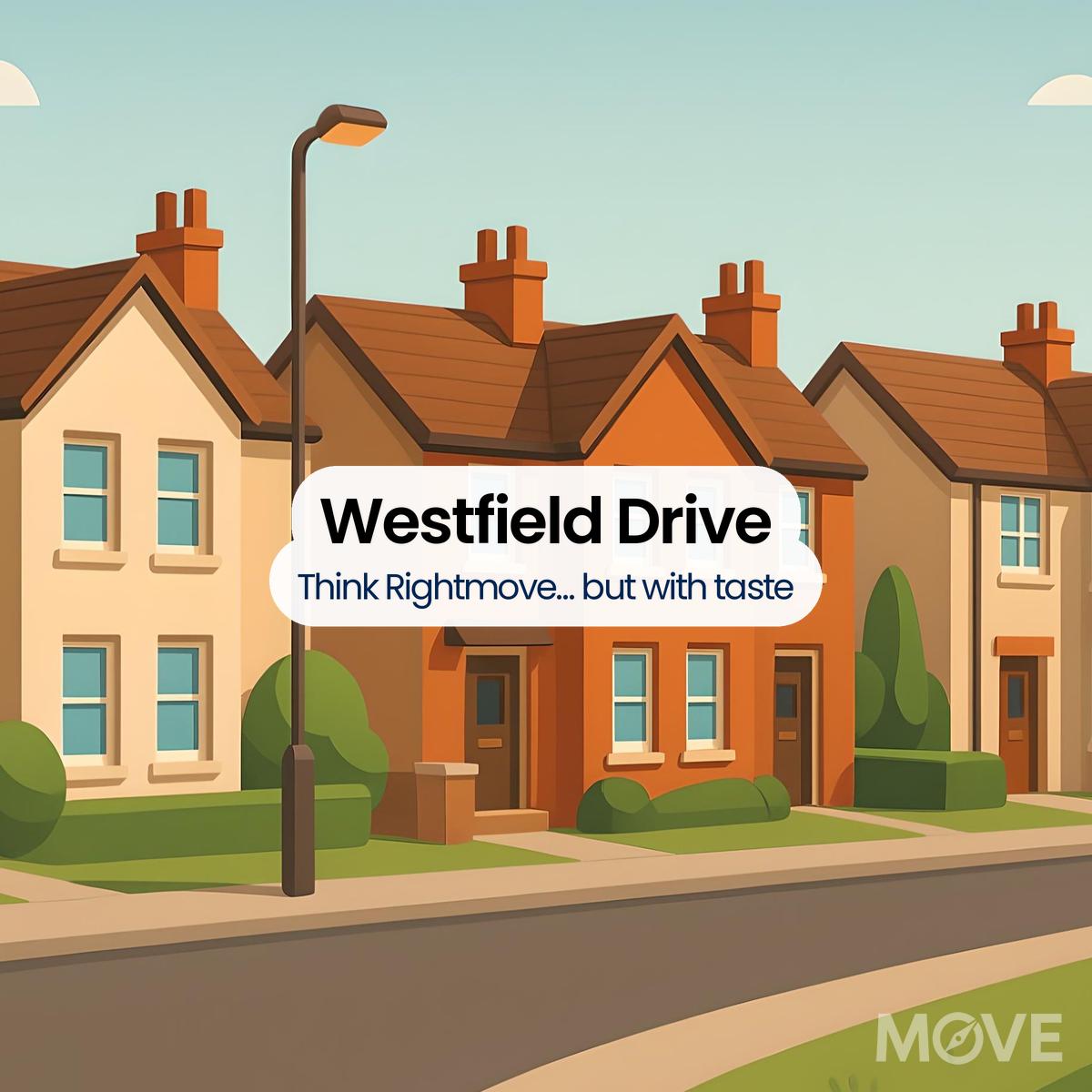
Genuine Data. Real Impact.

We reimagine what street-level property data should look like. Using structured government information (Land Registry, EPC), passed through our remarkably adaptable model, we purge the fluff and leave only crisp pricing intelligence. Follow our clean data process

  1. Walsall Council
  2. HM Land Registry (Walsall)
  3. UK Government EPC Register (Westfield Drive Walsall)
  4. MySociety.org WS9 8ZD
Please Login
Please Signup
Please Signup
    Strength: Very Weak